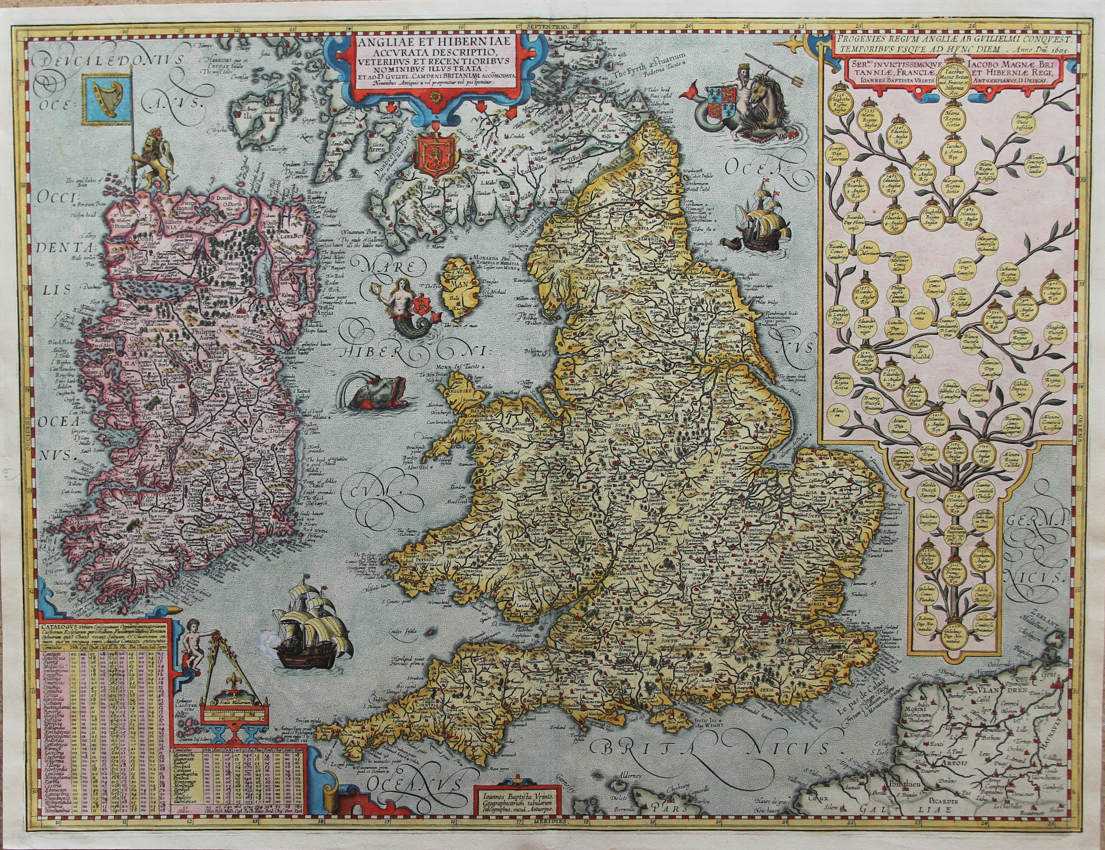
Antiquarenbeurs Mechelen
Exhibitor
CartaHistoricaEdelweisslaan 13
3080 Tervuren
Belgium
Contact
Stanislas De PeuterPhone
+32 (0) 496 588 110 / +32 (0) 2 768 13 57 +32 (0) 496 588 110 / +32 (0) 2 768 13 57Website
www.cartahistorica.com
Handcoloured Bible Paris 1550


Monumental and seminal critical edition of the Greek New Testament (1550) with all woodcut devices, headpieces and initials coloured, including much gold and silver and extensive additional colour decorations in a rococo style.
Tes Kaines Diathekes Apanta = Novum Jesu Christi D.N. Testamentum Ex Bibliotheca Regia.
With a Greek and Latin title-page including Estiennes woodcut basilisk device as Kings printer (and 1 repeat), his woodcut olive tree device on the otherwise blank last page (N6v), 3 single-piece decorated architectural frames with putti, etc. (plus 3 repeats) for the tables of the Eusebian canons for the Gospels, 9 woodcut headpieces and 21 decorated woodcut initial letters (plus numerous repeats). Set almost entirely in the three sizes of Claude Garamont?s famous Greek printing types, known as the Grecs du Roi, and the first use of the largest size.
The present copy has been richly decorated, probably around the time it was bound, not just by colouring Estiennes woodcut devices (the basilisk in gold), decorative frames, headpieces and initials, but also by adding extensive decorations in rococo style, the whole using a large number of mostly bright colours plus gold and silver. Gold-tooled black sheepskin, the gold-tooled spine with the title, publisher and date in the 2nd and 6th of 7 compartments in roman capitals, gold-tooled board edges and turn-ins, gilt and richly gauffered edges, Dutch combed and curled endpapers. [32], ?272? [= 268], 202, [2] pp. Robert Estiennes ground-breaking critical edition of the Greek New Testament, including variant readings from 15 manuscripts (plus the printed New Testament text of the 1514 Computensian Polyglot), mostly of the manuscripts from the French King François Is Bibliotheque Royale, but most importantly including for the first time the 5th-century manuscript later known as the Codex Bezae, then in a monastic library in Lyon. Each of these sources was designated by a Greek letter in Estiennes? shoulder notes in the gutter margin giving the variants.
Estienne proved himself the consummate scholar-printer, strongly influenced by Erasmus, producing one of the greatest monuments of Renaissance erudition. This opened up opportunities for further research and for new interpretations of the New Testament text, opportunities often more appreciated by Protestants than by the conservative Catholics of the Council of Trent. The book frequently came under fire. The three sizes of highly ligatured Greek types cut by the rising star of French typographic punchcutting, Claude Garamont (ca. 1505/10-1561), also made it one of the greatest monuments of Renaissance typography: ?sumptuous? (Schreiber), ?the best type of its kind that has ever been cut? (Proctor quoted by Updike), and it assured Estienne of ?sa réputation comme savant littérateur et typographe distingue? (Renouard). Mortimer notes that the headpiece on H7r (p. 125) was replaced during the press run (perhaps it was accidentally damaged). Our copy has what she believes is the earlier state of this form, with a crowned angel head in the headpiece. The first part of the text (a-o) contains the four Gospels and the acts of the Apostles (plus lives of the Evangelists by Sophronius and Dorotheus), while the second part (A-N) contains the Epistles and Revelation, with a Greek divisional-title ? with the basilisk device but without imprint ? on A1r: the word basilisk is related to the Greek word for king. Estiennes?s 1-page Latin note to the reader is set in Roman type, as are the Latin words on the title page; otherwise, the book is set entirely in Greek except for the quire signatures and the Arabic numerals for the pagination.
Although Estienne had produced two earlier Greek New Testaments (in 1546 and 1549), they were in small format with no critical apparatus and were completely overshadowed by the present edition. In the present copy, all the woodcut devices, frames, headpieces, and initials are coloured in a wide variety of bright colours, gold, and silver, with extensive rococo decorations added, as noted above. With numerous short marginal notes in Latin, written in dark brown ink, probably from the time of the binding and colouring. With a gift inscription in English on an endleaf at the front, the name difficult to decipher, but something like: ?W. J. Buebile|with much love from|his mother|February 13th 1925?. Three preliminary leaves with marginal tears repaired and a marginal stain in one leaf, but otherwise in good condition. The raised bands and other extremities are worn and a couple of sewing supports are broken at the hinge, but the binding is otherwise in good condition, with nearly all of the tooling well-preserved. A great work of Greek scholarship and typography, here brightly coloured and with extensive colour decorations added in rococo style.
Literature: Adams B1661; Darlow & Moule 4622; Mortimer, French 78; Renouard, Estienne, pp. 76-77, item 1; Schreiber, The Estiennes 105; USTC 150710; for the Greek types: Updike, Printing types, I, pp. 236-237; Vervliet, Conspectus 334, 352, 356; Vervliet, Palaeotypography, pp. 383-397, items 1-3.
€ 95.000
View exhibitor's highlights